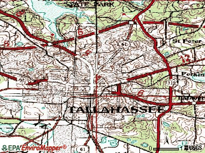
This is a topographic map of Tallahassee Florida. It shows both natural and man made features including roads water areas, and vegetation. The map also shows elevation by use of contour lines. http://http://www.google.com/imgres?imgurl=http://pics.city-data.com/topo/tpc4106.png&imgrefurl=http://www.city-data.com/city/Tallahassee-Florida.html&usg=__gehAGsUhQZwt8pmLnoCDtwCYZ0s=&h=300&w=400&sz=109&hl=en&start=2&sig2=tzImg2km9aD18GATxc7FYg&um=1&itbs=1&tbnid=_Zn27fBXmdBj8M:&tbnh=93&tbnw=124&prev=/images%3Fq%3Dtopographic%2Bmap%2Btallahassee%26um%3D1%26hl%3Den%26sa%3DN%26rls%3Dcom.microsoft:en-us:IE-SearchBox%26rlz%3D1I7ADRA_en%26tbs%3Disch:1&ei=KPc4TMKOMcGclgfgv7WsBA

No comments:
Post a Comment